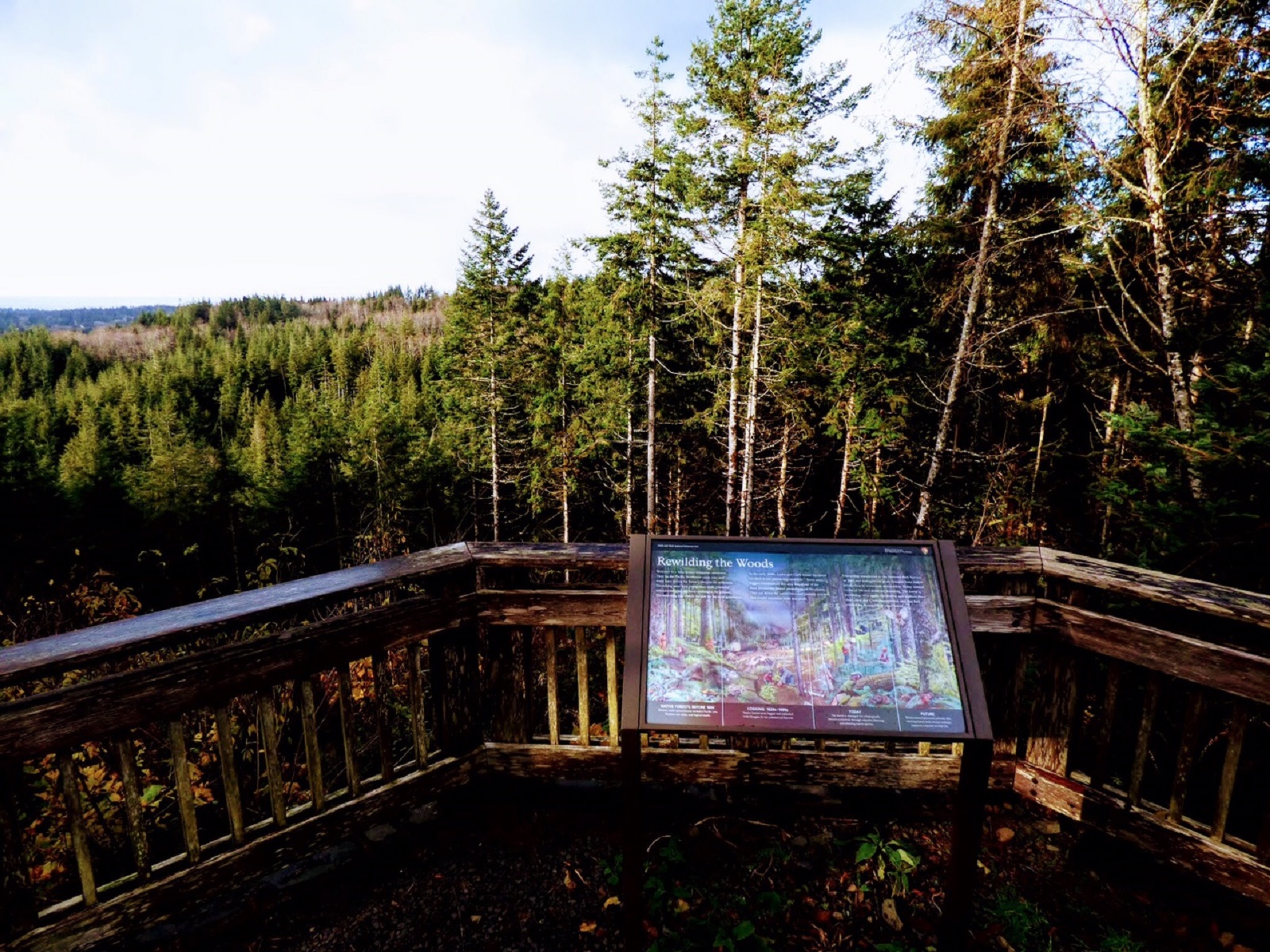
The North Coast
Trip worthy places, an hour from Astoria.
NPS Photo
Before you go
- road
US26, 4 miles East of Necanicum · Estimated delay under 20 minutes · Milepost 13
Sunken grade. Prepare to slow.
ODOT TripCheck · Full advisory
- road
US101, Seaside · No to Minimum Delay · Milepost 22.14
Road maintenance operations are occurring causing minimal delay to traffic. Prepare to slow or move over for worker safety.
ODOT TripCheck · Full advisory
- road
US30, 17 miles East of Astoria · Estimated delay under 20 minutes · Milepost 80
Road maintenance operations are occurring. Prepare to slow or move over for worker safety.
ODOT TripCheck · Full advisory
This week
Checked just now
Forecast
-
Today 66° Partly Sunny · 5 to 8 mph
Hour Temp Wind Rain 10 am 60° 5 mph S — 11 am 62° 5 mph SSW — 12 pm 63° 6 mph SW — 1 pm 64° 7 mph WSW — 2 pm 64° 8 mph WSW — 3 pm 65° 8 mph WSW — 4 pm 64° 7 mph W — 5 pm 64° 7 mph W — -
Saturday 67° Partly Sunny · 1 to 9 mph
Hour Temp Wind Rain 6 am 54° 1 mph E — 7 am 54° 1 mph E — 8 am 55° 1 mph N — 9 am 56° 1 mph N — 10 am 58° 1 mph N — 11 am 60° 2 mph NW — 12 pm 62° 2 mph NW — 1 pm 64° 2 mph NW — 2 pm 65° 7 mph WNW — 3 pm 65° 7 mph WNW — 4 pm 65° 7 mph WNW — 5 pm 66° 9 mph WNW — -
Sunday 68° Mostly Sunny · 2 to 12 mph
Hour Temp Wind Rain 6 am 54° 2 mph N — 7 am 54° 2 mph N — 8 am 54° 2 mph N — 9 am 57° 2 mph N — 10 am 59° 2 mph N — 11 am 61° 5 mph NNW — 12 pm 63° 5 mph NNW — 1 pm 65° 5 mph NNW — 2 pm 66° 9 mph NW — 3 pm 66° 9 mph NW — 4 pm 66° 9 mph NW — 5 pm 66° 12 mph NW — -
Monday 67° Partly Sunny · 2 to 10 mph
Hour Temp Wind Rain 6 am 55° 2 mph NNW — 7 am 55° 2 mph NNW — 8 am 56° 2 mph NE — 9 am 58° 2 mph NE — 10 am 60° 2 mph NE — 11 am 62° 3 mph NW — 12 pm 63° 3 mph NW — 1 pm 64° 3 mph NW — 2 pm 65° 9 mph NW — 3 pm 65° 9 mph NW — 4 pm 65° 9 mph NW — 5 pm 64° 10 mph NW —
Happening
No scheduled programs listed.
On the water
Tides at Astoria
Full tide table
| When | Tide | Height |
|---|---|---|
| Fri 1:01 am | Low | 0.8 ft |
| Fri 7:52 am | High | 5.6 ft |
| Fri 12:36 pm | Low | 3.6 ft |
| Fri 6:24 pm | High | 7.2 ft |
| Sat 2:12 am | Low | 1.1 ft |
| Sat 9:07 am | High | 5.6 ft |
| Sat 1:52 pm | Low | 3.9 ft |
| Sat 7:33 pm | High | 6.8 ft |
| Sun 3:27 am | Low | 1 ft |
| Sun 10:16 am | High | 5.8 ft |
| Sun 3:16 pm | Low | 3.7 ft |
| Sun 8:55 pm | High | 6.7 ft |
| Mon 4:30 am | Low | 0.7 ft |
| Mon 11:10 am | High | 6.2 ft |
| Mon 4:27 pm | Low | 3.3 ft |
| Mon 10:10 pm | High | 6.9 ft |
| Tue 5:20 am | Low | 0.4 ft |
| Tue 11:52 am | High | 6.7 ft |
| Tue 5:23 pm | Low | 2.6 ft |
| Tue 11:10 pm | High | 7.2 ft |
| Wed 6:01 am | Low | 0.1 ft |
| Wed 12:27 pm | High | 7.1 ft |
| Wed 6:11 pm | Low | 1.9 ft |
| Thu 12:01 am | High | 7.5 ft |
| Thu 6:38 am | Low | -0.1 ft |
| Thu 12:58 pm | High | 7.5 ft |
| Thu 6:54 pm | Low | 1.1 ft |
| Fri 12:48 am | High | 7.7 ft |
| Fri 7:12 am | Low | -0.1 ft |
| Fri 1:26 pm | High | 7.9 ft |
Heights above MLLW. NOAA Tides & Currents
Worth the drive
16 places

Butte Creek Day Use Area
Butte Creek is a historically significant site in Pacific County that was part of the original Butte Creek Homestead of Marion and Sarah Ann Monohon. The area offers visitors a .75-mile loop trail and 5 picnic sites surrounded by mature coastal forest.
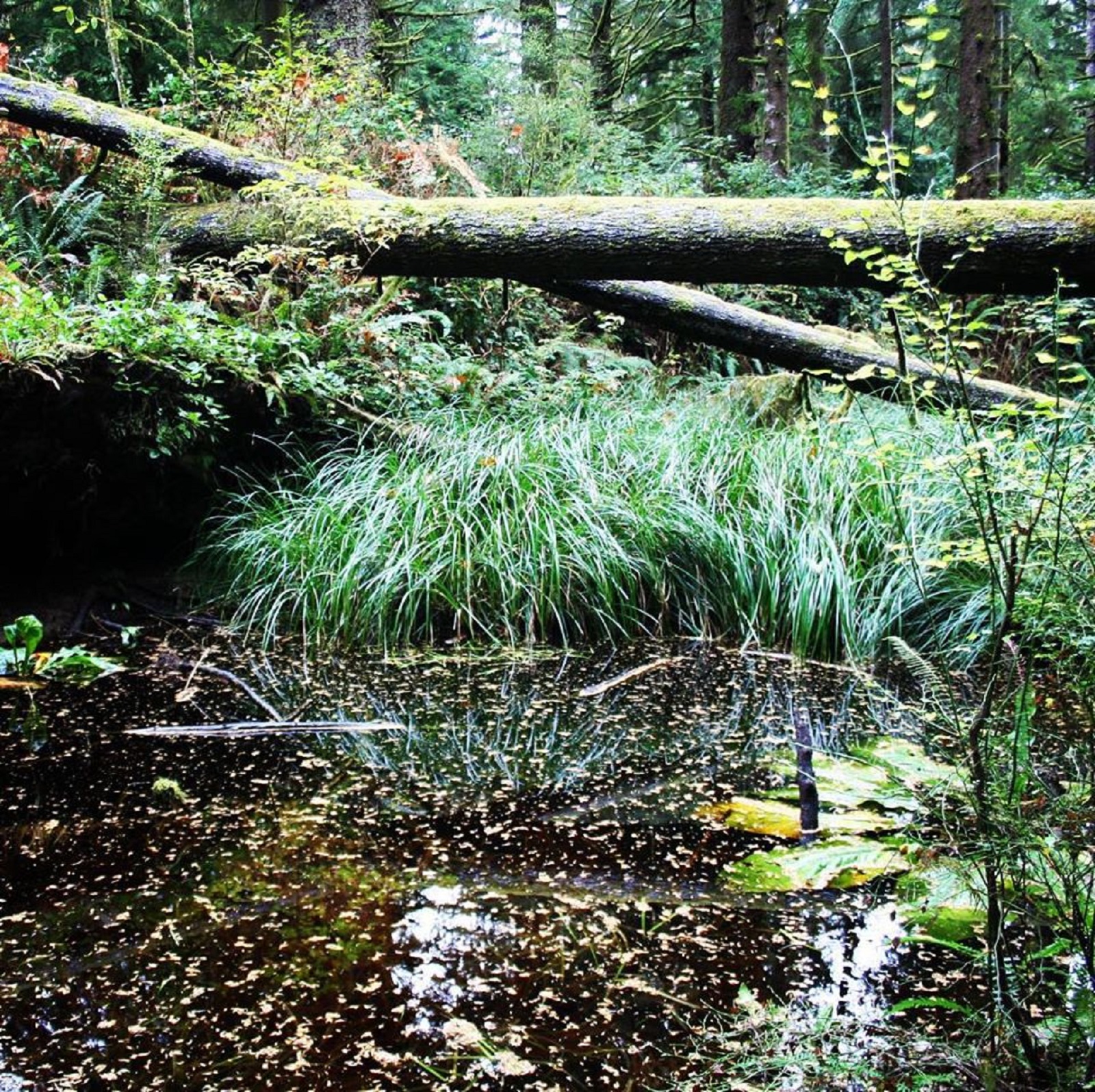
Clay Pit Pond Trail
The Clay Pit Pond is a half mile loop primitive trail with access at the Fort Clatsop Visitor Center picnic area. It is a great trail for those looking for a short but dynamic hike. The trail features a vernal pond surrounded by skunk cabbage and sedges. There are steep steps and lots of trees growing close to the trail so watch out for roots and newts!
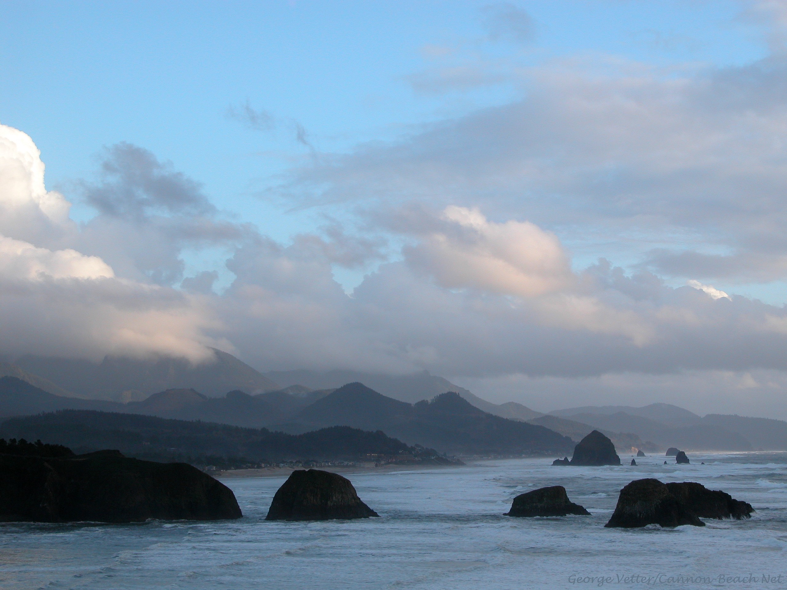
Continue South to Find a Whale
Wrapping around Tillamook Head, between Seaside and Cannon Beach, Ecola State Park stretches along 9 miles of coastline and offers outstanding sightseeing and recreation opportunities combined with a storied past. Though the scenic and hiking opportunities may be the main allure, the diversity of outdoor recreation including picnicking, tidepooling, surfing and wildlife observation make Ecola State park a destination year round.
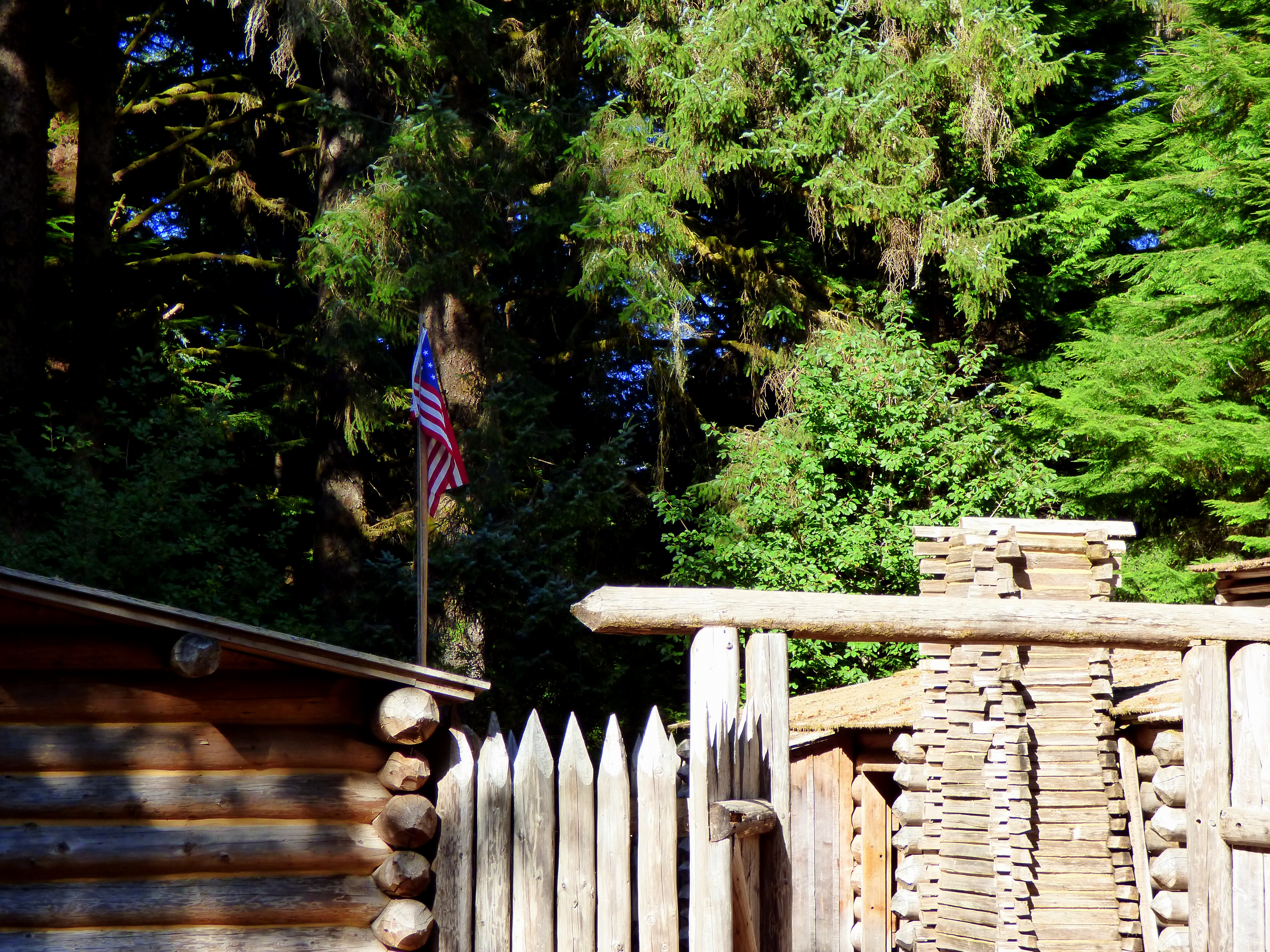
Experience History Come Alive at Fort Clatsop
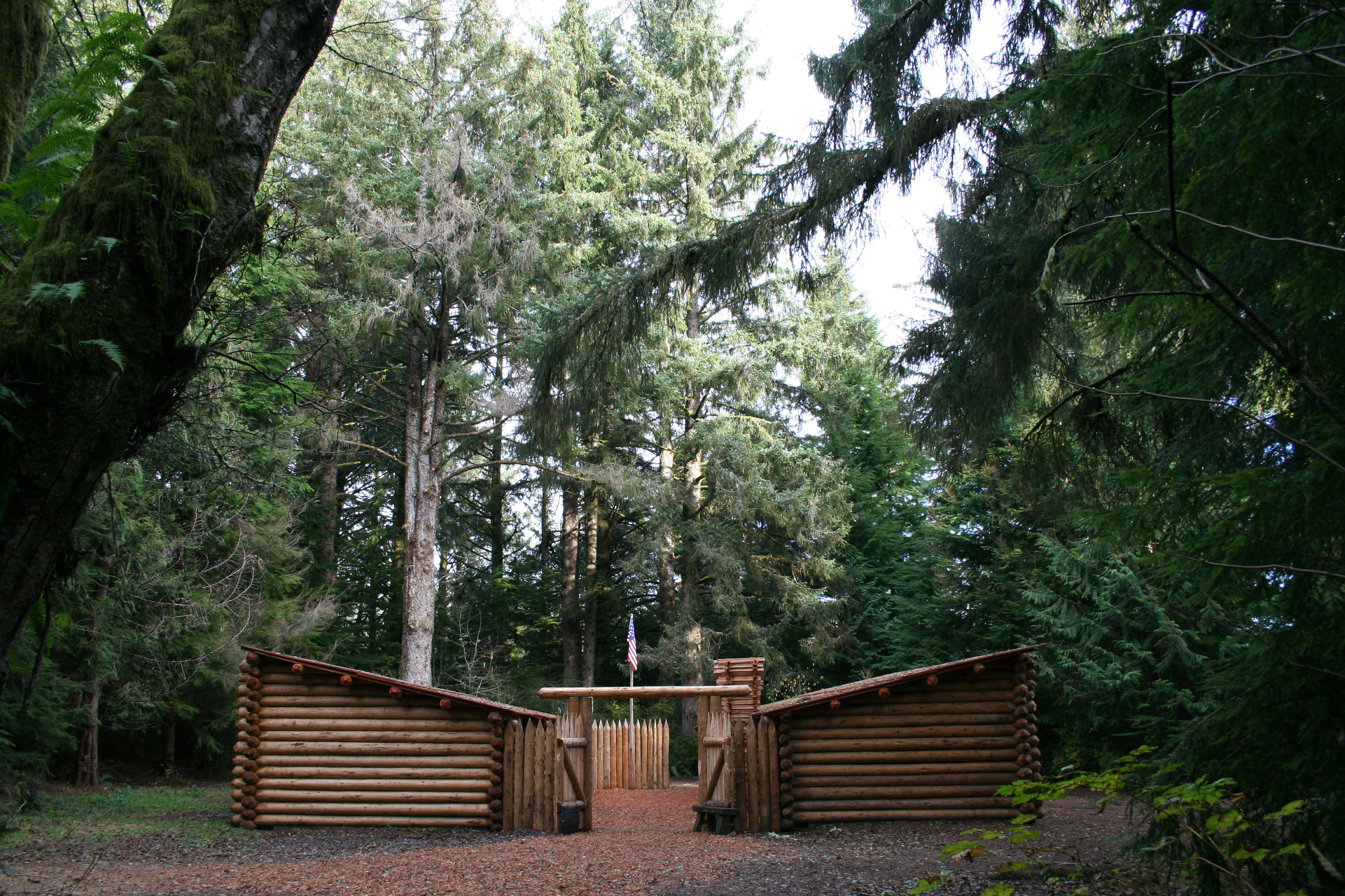
Visit the replica fort and visitor center to learn more about the Lewis & Clark expedition and local native culture. If you visit during our Summer or Winter programs you may even get to talk to rangers in costumes and try your hand at 19th century tasks. Experience this incredible story in a tangible way when you lay down on a bed in the fort or take a walk along the Netul river.
Find a Salt Camp in Seaside
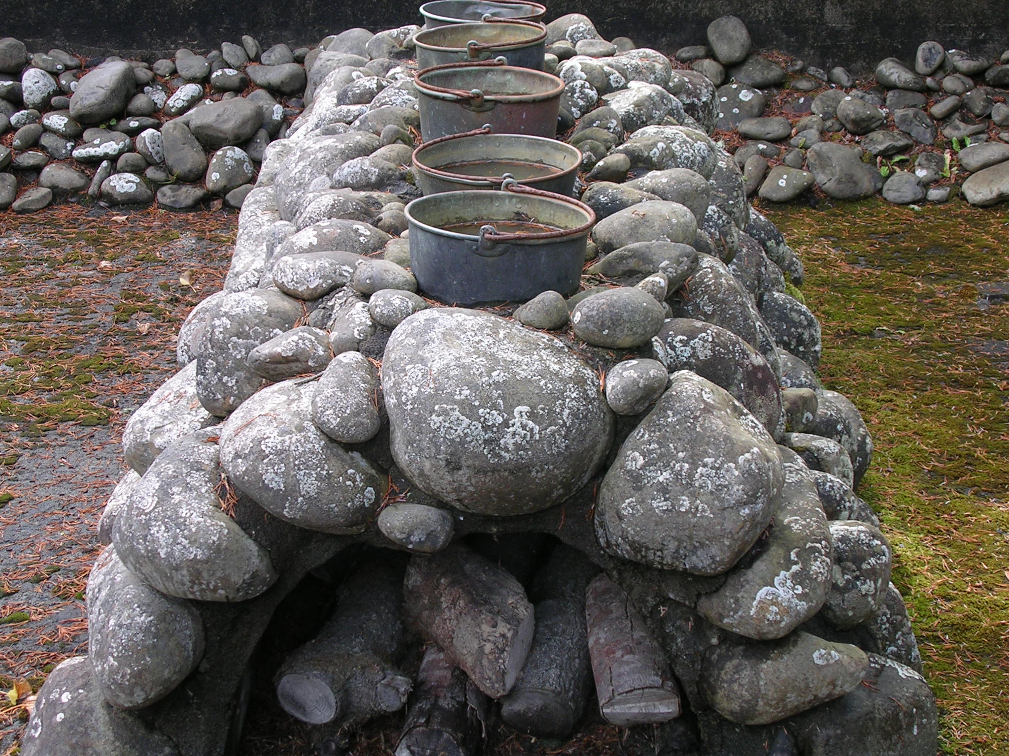
To make salt, the Corps had to find rocks to build a furnace, wood to burn, ocean water to boil, fresh water to drink and game animals. Nearby rivers weren't salty enough, but a site 15 miles southwest of Fort Clatsop proved perfect. What's more, there were homes of local Clatsop and Tillamook Indians nearby, local experts who could help the Corps members.
Fort Clatsop Audio Tour
Embark on a voyage of discovery as you learn about the historical homelands of the Clatsop people, and the winter that Lewis and Clark spent in the area. This self-guided audio tour will take you to the must-see sights around Fort Clatsop, beginning at the visitor center and ending back in the parking lot.
Fort to Sea Trail
The Fort To Sea Trail starts at the Fort Clatsop Visitor Center then takes you up a gentle climb to the top of Clatsop Ridge, where on a clear day you can see to the Pacific Ocean. From there, descend through deep woods and reach wooded pasture dotted with small lakes. The wooded pasture leads to gentle dunes that lead you to the Sunset Beach/Fort to Sea Trail parking lot. From there, travel the 1-mile path to the beach.
Kwis Kwis Trail
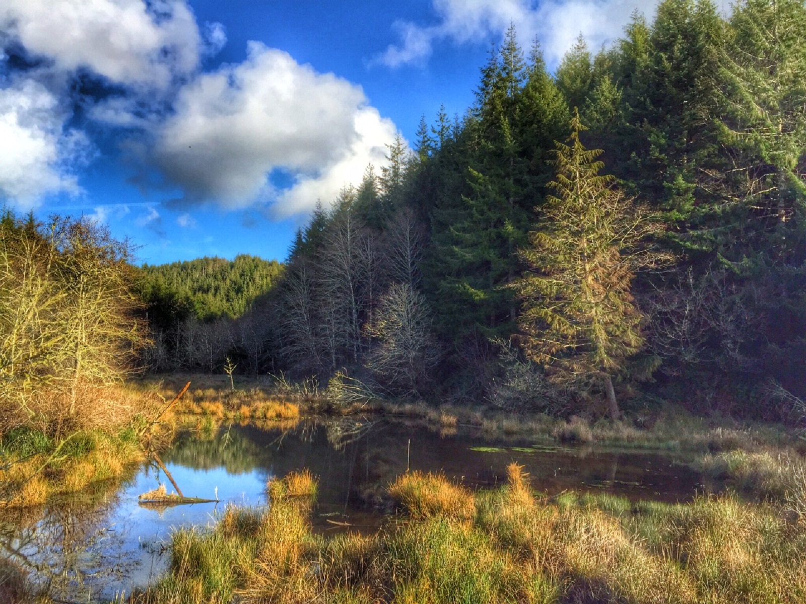
The Kwis Kwis Trail is a 3.6 miles one way trail that can be combined with the Fort to Sea to form loops. 2.7 miles - Fort to Sea west to 1st Kwis Kwis connector to Kwis Kwis to the Fort to Sea Trailhead. 5.3 miles - Fort to Sea west to 2nd Kwis Kwis connector (below Clatsop Ridge Overlook) to take Kwis Kwis to Trailhead. 6.5 miles - Fort to Sea west to Kwis Kwis Extension to Kwis Kwis to Trailhead. Kwis Kwis connectors and extensions will always be on the right.
Netul River Trail
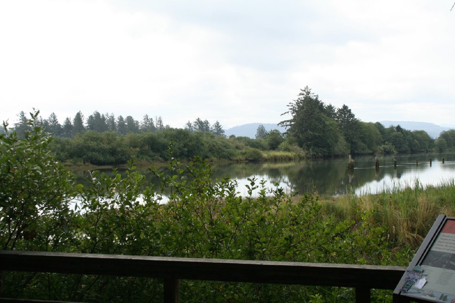
Take an easy approximately 1 mile stroll along the beautiful Netul River Trail. Watch for water birds, eagles and sometimes otters! Along the way you can learn about the history of logging and commerce along the Lewis and Clark River.
Explore by type
Look outside
Live from WSDOT
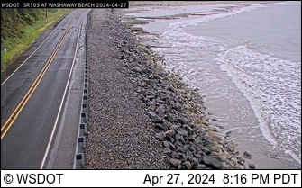 SR105 at MP 20: Graveyard Spit
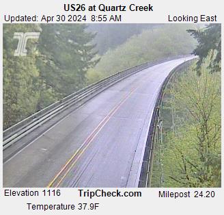 US26 at Quartz Creek
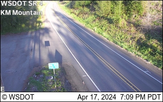 SR 4 at MP 22.2: KM Mountain
 US26 at David Douglas Park
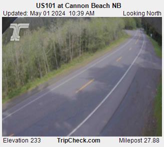 US101 at Cannon Beach NB
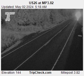 US26 at MP3.82
Reload for the latest frame. Cameras go dark at night and in heavy weather, which is itself worth knowing before you set off.
Never miss a new destination