Bend
Trip worthy places, an hour from Bend.
NPS
Before you go
- park closure
East Rim Drive is CLOSED from Park Headquarters to Phantom Ship Overlook Crater Lake National Park
East Rim Drive is currently CLOSED to all public access from Park Headquarters to Phantom Ship Overlook for road construction. West Rim Drive, North Entrance Road, East Rim Drive from North Junction to Phantom Ship Overlook, Cloudcap Road, and Pinnacles Road are now OPEN for travel.
Crater Lake National Park · Full advisory
- park closure
Cleetwood Cove Trail is CLOSED for Rehabilitation Crater Lake National Park
The Cleetwood Cove Trail is CLOSED for construction. This critical project will fully rehabilitate the trail and marina to ensure safe access to the lake, provide a much-improved visitor experience, and protect the environment.
Crater Lake National Park · Full advisory
- road
US20, Intersection with The Dalles - California Highway US97 · No to Minimum Delay · Milepost 19
Watch for signage along road for work that is being done off highway.
ODOT TripCheck · Full advisory
- road
US20, Intersection with The Dalles - California Highway US97 · No to Minimum Delay · Milepost 18.8
Watch for signage along road for work that is being done off highway.
ODOT TripCheck · Full advisory
- road
US20, N.E. Purcell Blvd. (Bend) · Estimated delay under 20 minutes · Milepost 1.82
Road construction is occurring. Prepare to slow. Watch for workers.
ODOT TripCheck · Full advisory
- road
US97, 1 mile North of Terrebonne · Estimated delay under 20 minutes · Milepost 114.56
Road construction is occurring. Prepare to slow. Watch for workers.
ODOT TripCheck · Full advisory
This week
Checked just now
Forecast
-
Today 74° Sunny · 1 to 6 mph
Hour Temp Wind Rain 10 am 59° 2 mph SW — 11 am 64° 1 mph SW — 12 pm 67° 1 mph N — 1 pm 70° 2 mph N — 2 pm 72° 5 mph N — 3 pm 72° 6 mph N — 4 pm 74° 6 mph N — 5 pm 72° 6 mph N — -
Saturday 77° Sunny · 1 to 5 mph
Hour Temp Wind Rain 6 am 47° 5 mph SW — 7 am 46° 5 mph SW — 8 am 48° 5 mph S — 9 am 53° 5 mph S — 10 am 62° 5 mph S — 11 am 67° 1 mph E — 12 pm 69° 1 mph E — 1 pm 73° 1 mph E — 2 pm 75° 3 mph NE — 3 pm 75° 3 mph NE — 4 pm 77° 3 mph NE — 5 pm 75° 2 mph NE — -
Sunday 81° Sunny · 1 to 5 mph
Hour Temp Wind Rain 6 am 49° 2 mph SW — 7 am 49° 2 mph SW — 8 am 51° 5 mph S — 9 am 56° 5 mph S — 10 am 63° 5 mph S — 11 am 69° 1 mph E — 12 pm 73° 1 mph E — 1 pm 76° 1 mph E — 2 pm 79° 5 mph NE — 3 pm 80° 5 mph NE — 4 pm 81° 5 mph NE — 5 pm 80° 3 mph NE — -
Monday 81° Sunny · 1 to 5 mph
Hour Temp Wind Rain 6 am 51° 1 mph SW — 7 am 51° 1 mph SW — 8 am 53° 5 mph SW — 9 am 58° 5 mph SW — 10 am 65° 5 mph SW — 11 am 71° 1 mph NE 1% 12 pm 75° 1 mph NE 1% 1 pm 77° 1 mph NE 1% 2 pm 79° 5 mph N 1% 3 pm 80° 5 mph N 1% 4 pm 81° 5 mph N 1% 5 pm 79° 5 mph N —
Happening
- Fri, Sep 18 Lodge Talk
- Fri, Sep 18 Perspectives on Crater Lake
- Fri, Sep 18 Rim Talk
- Fri, Sep 18 Watchman Peak Sunset Hike
Nothing scheduled in that window.
Worth the drive
18 places

Biking at Crater Lake
Each year, increasing numbers of cyclists come to Crater Lake National Park to ride around the lake on the physically demanding, 33 mile (53 km) Rim Drive. Steep hills at high elevation may encourage even the most fit riders to pause at many of the road's thirty overlooks and pull-outs. The payoff however is spectacular scenery, viewed at a pace that few visitors choose to take enough time for.
Blue Basin Overlook Trail
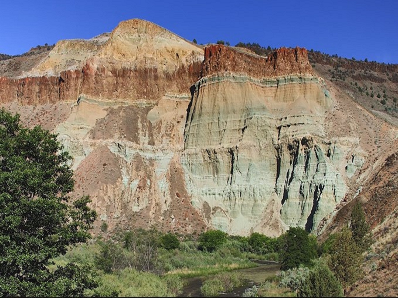
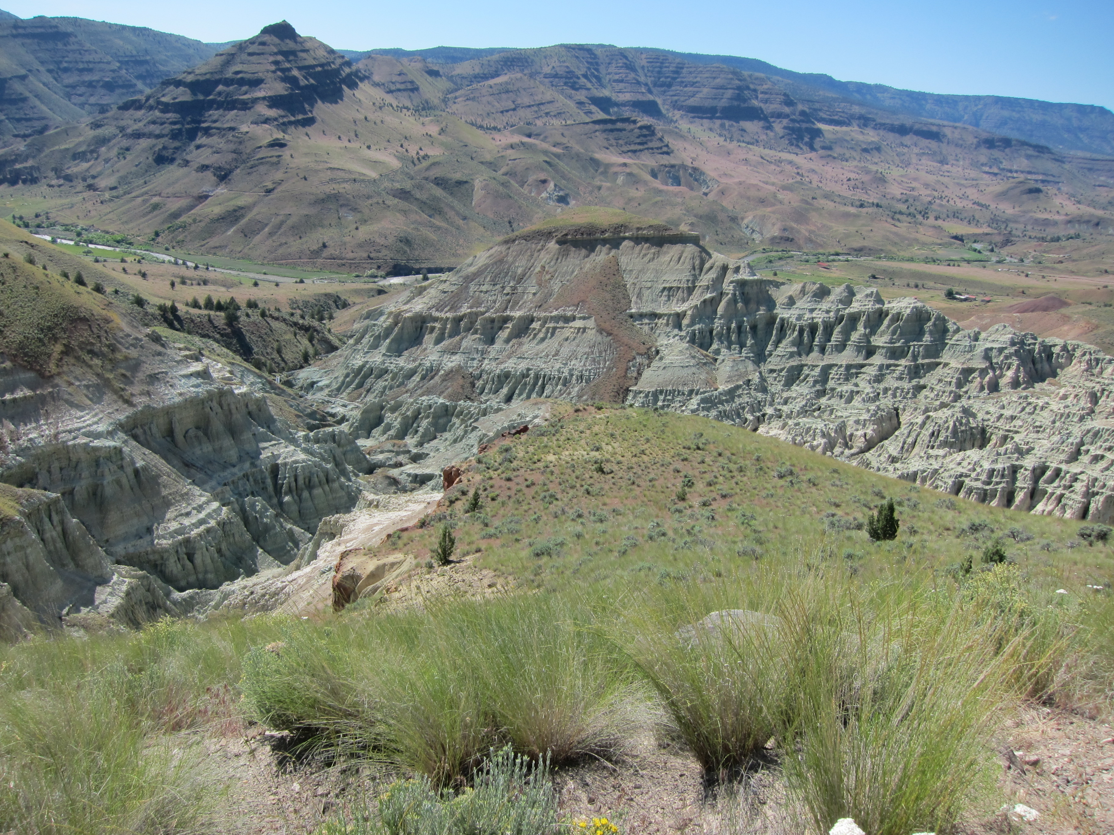
The Blue Basin Overlook Trail is a 3.25 mi (5.2 km) trail that climbs 760 ft (230 m) in elevation to an overlook of Blue Basin. This trail provides breathtaking views down into steep canyons and grand vistas of the John Day River valley. It starts both at the Blue Basin parking lot and also connects along the Island in Time Trail. No collecting is permitted and off-trail hiking is strictly prohibited. Please stay on trail.
Carroll Rim Trail
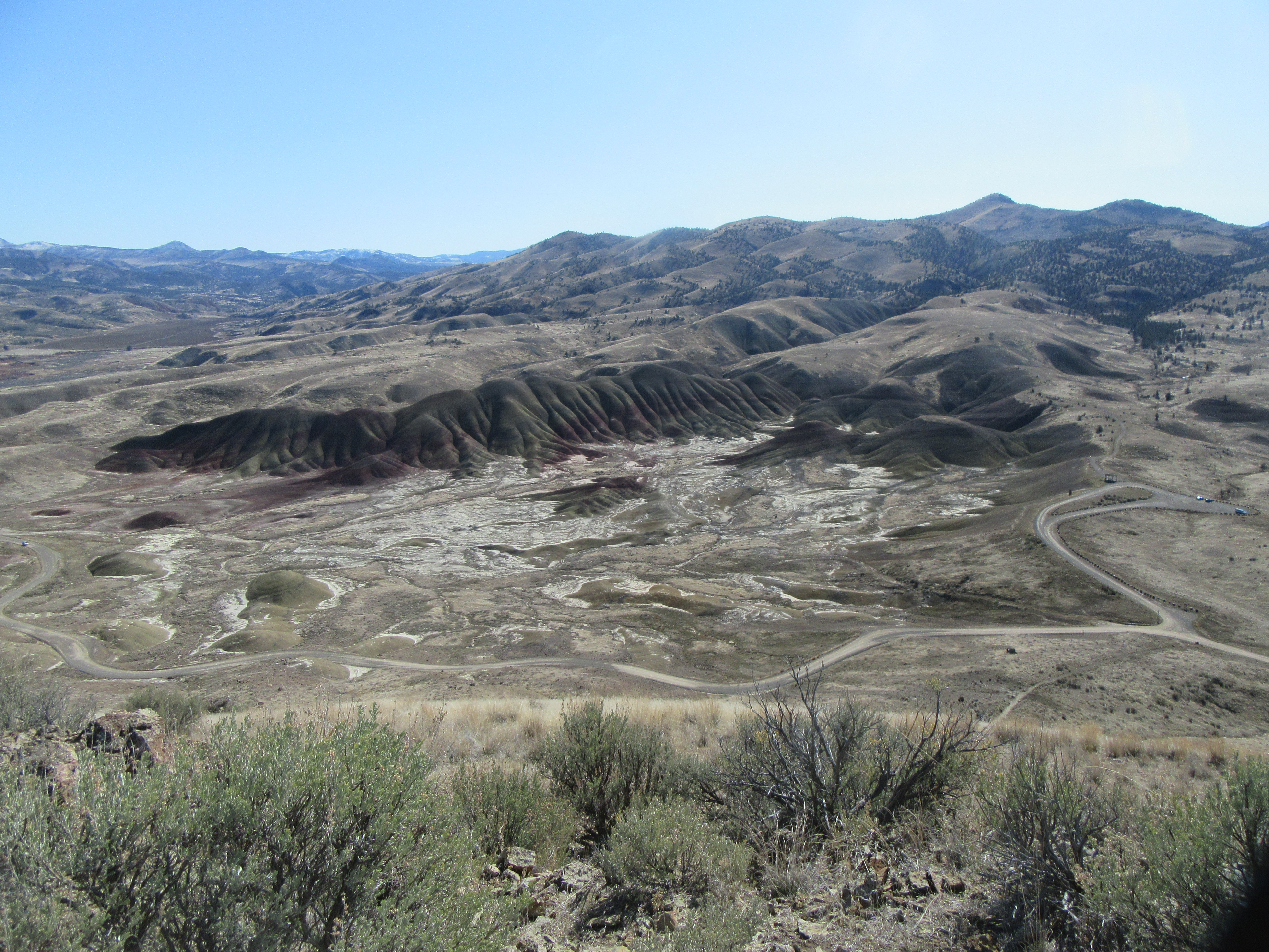
The Carroll Rim Trail is 1.6 miles (2.6 km) roundtrip. The trail climbs over 400 ft (120 m) of elevation to a panorama view of the Painted Hills.
Clarno Arch Trail
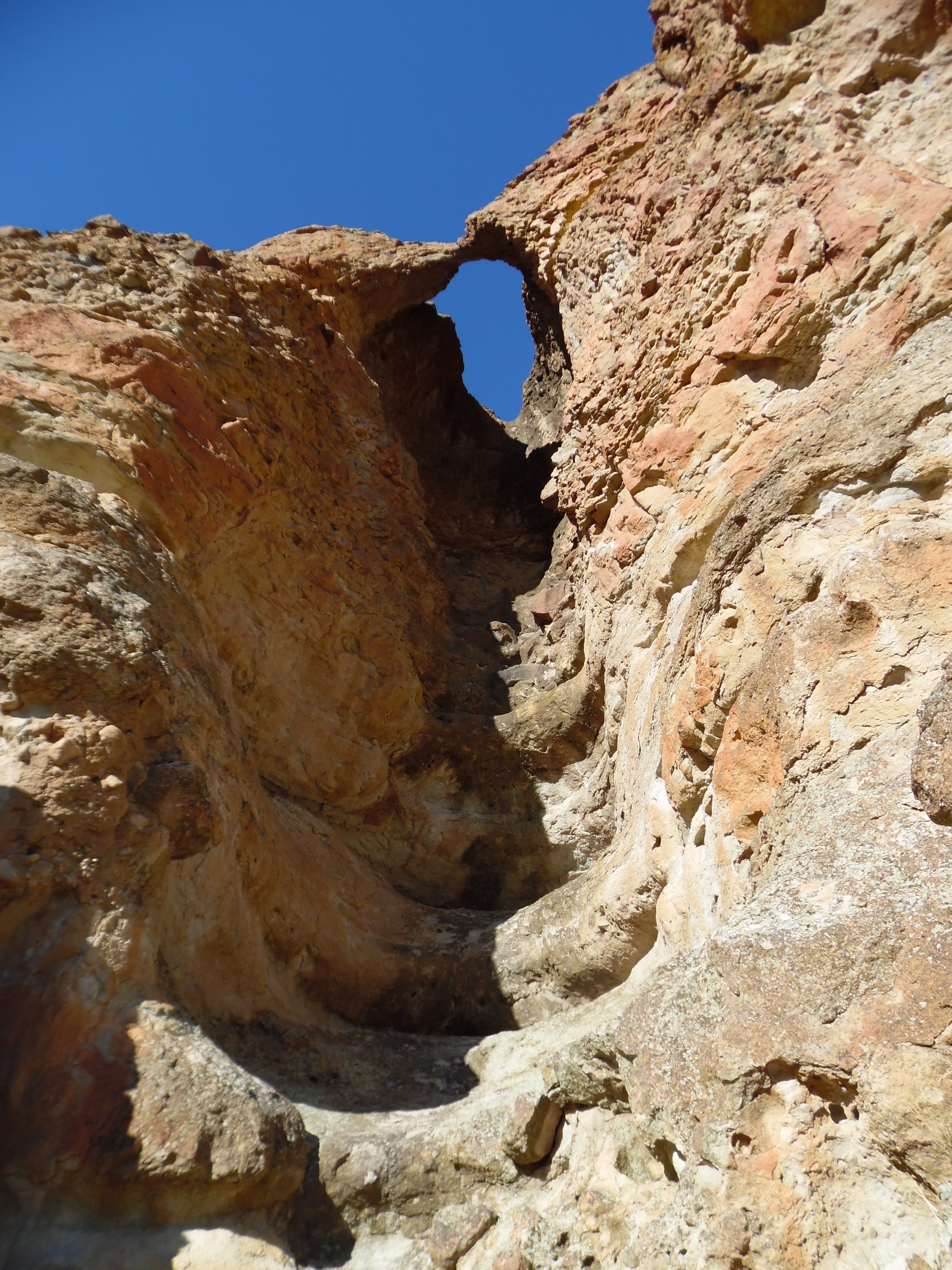
This 0.5 mi (0.8 km) trail climbs almost 200 ft (60 m) in height to the base of the Palisades to a view of an arch above. No collecting is permitted.
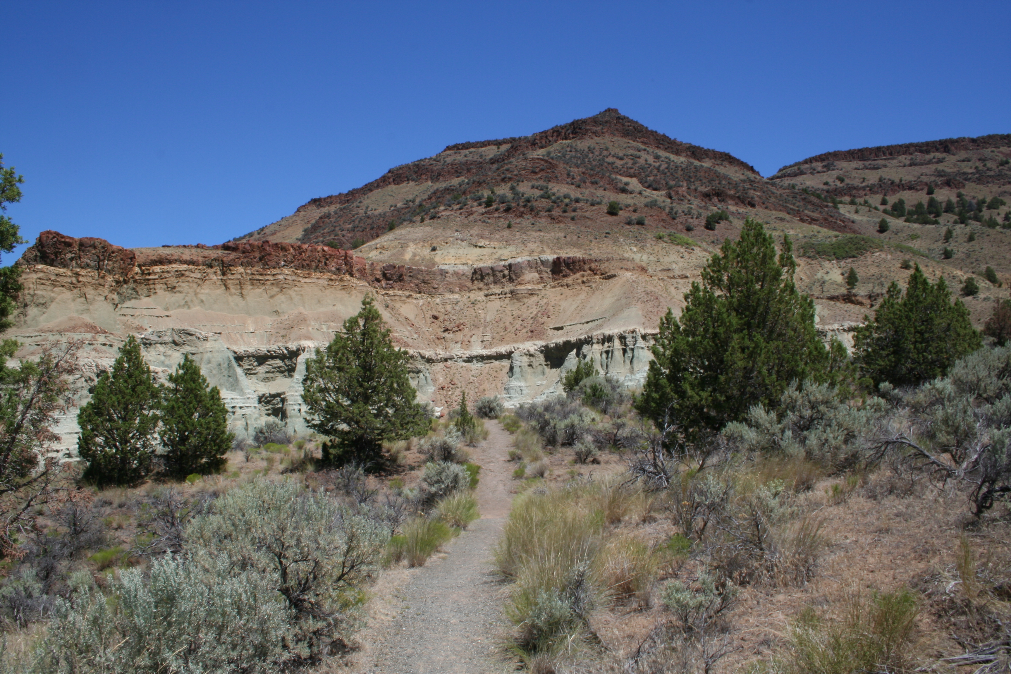
Flood of Fire Trail
Mostly easy with several stair steps, this 0.5 mi (0.8 km) long trail ends at a dramatic cliff face and a view of colorful geologic formations and fiery floods of basalt across the valley.
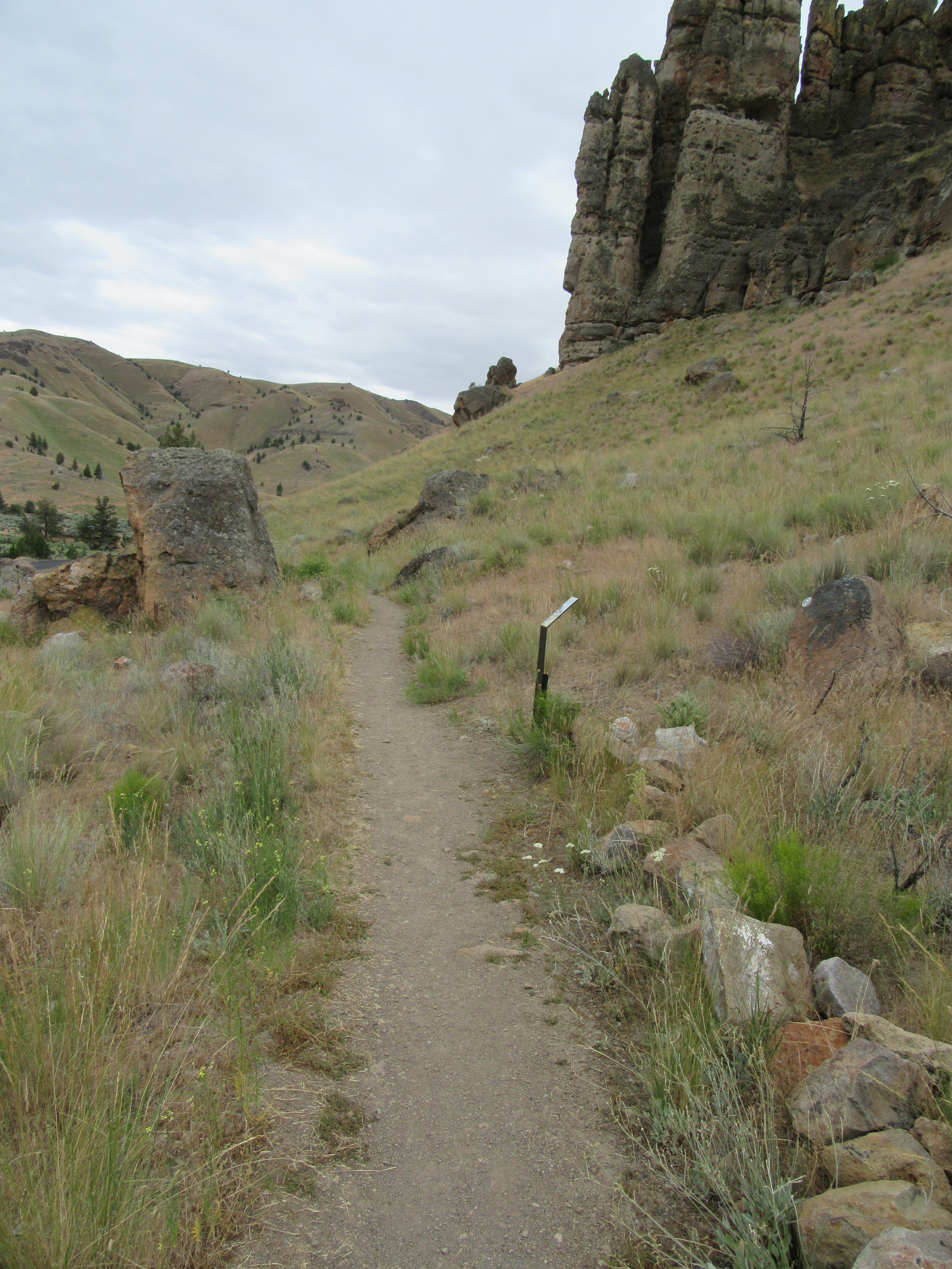
Geologic Time Trail
Travel in time between the past and present on this 0.5 mi (0.8 km) path connecting the Trail of Fossils and the picnic area. No collecting is permitted.
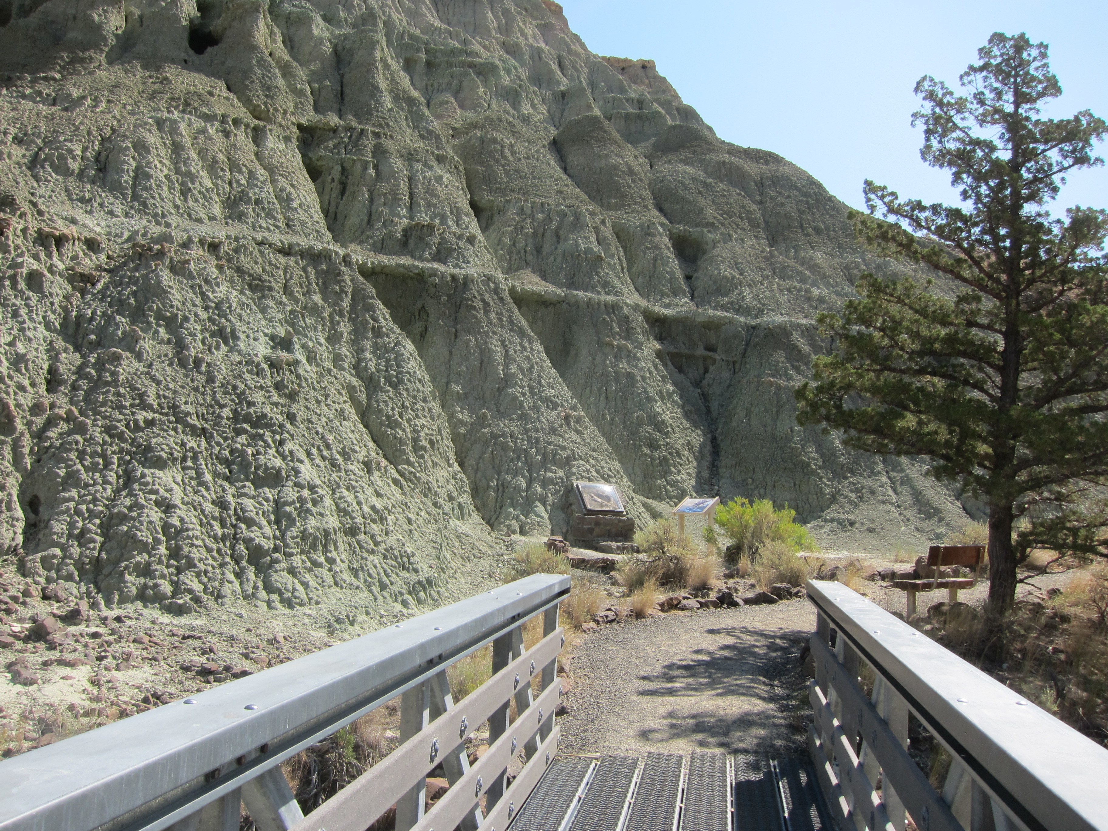
Island in Time Trail
This 1.3 mi (2.1 km) trail follows the canyon floor and ascends 200 ft (60 m) in elevation through blue-green badlands. Exhibits and fossil replicas along the trail tell the story of the fossil landscape. Dog owners please note: There are over a dozen metal bridges on this trail. All have rough footplates that many dogs refused to cross. You may need to carry your dogs across the bridges. No collecting is allowed and off-trail hiking is strictly prohibited. Please stay on
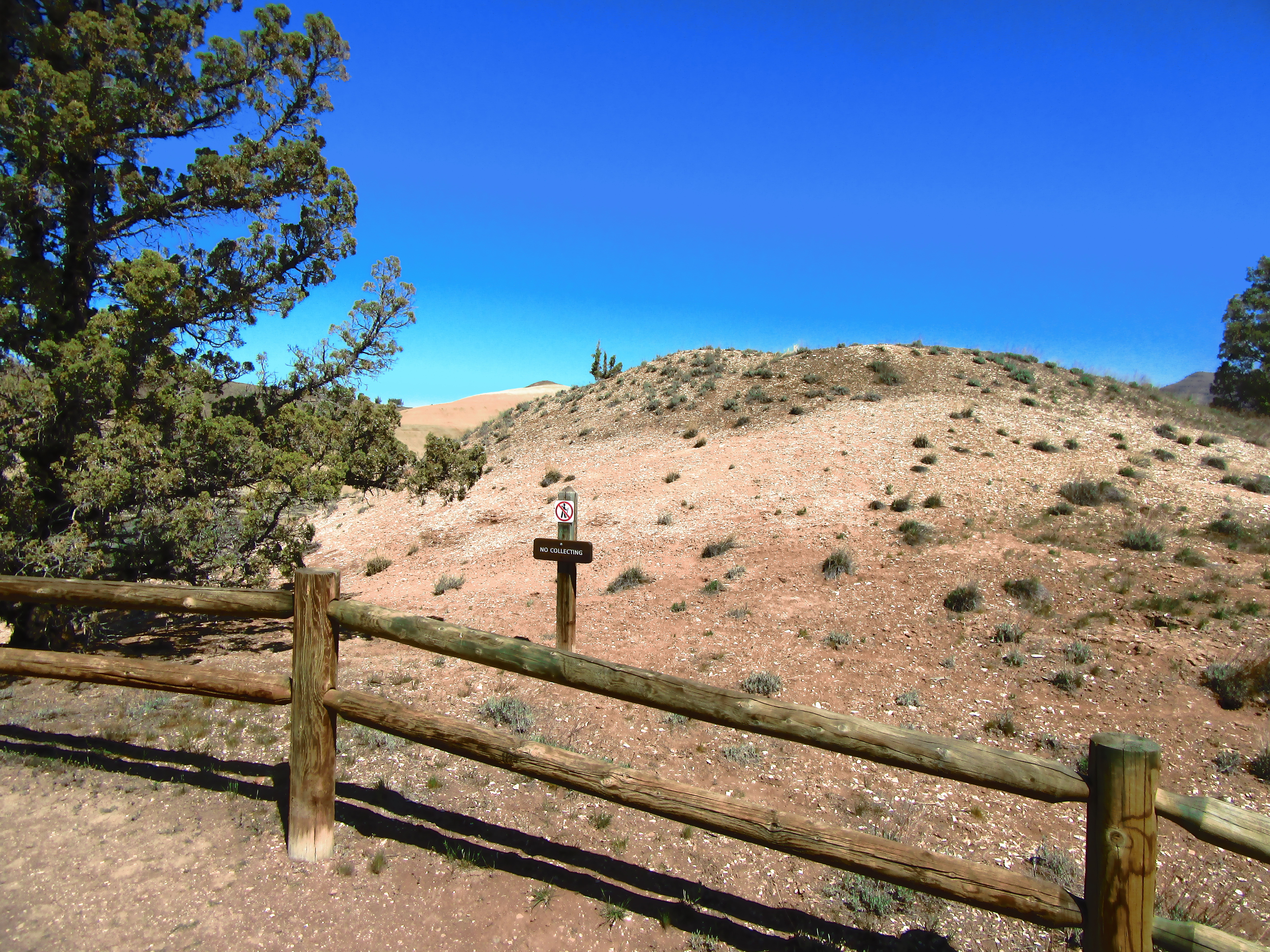
Leaf Hill Trail
This trail is 0.25 mi (0.4 km) roundtrip. Leaf Hill has been extensively excavated and studied by paleontologists. Signs explain more of its history. No collecting is permitted. Please stay on trail.
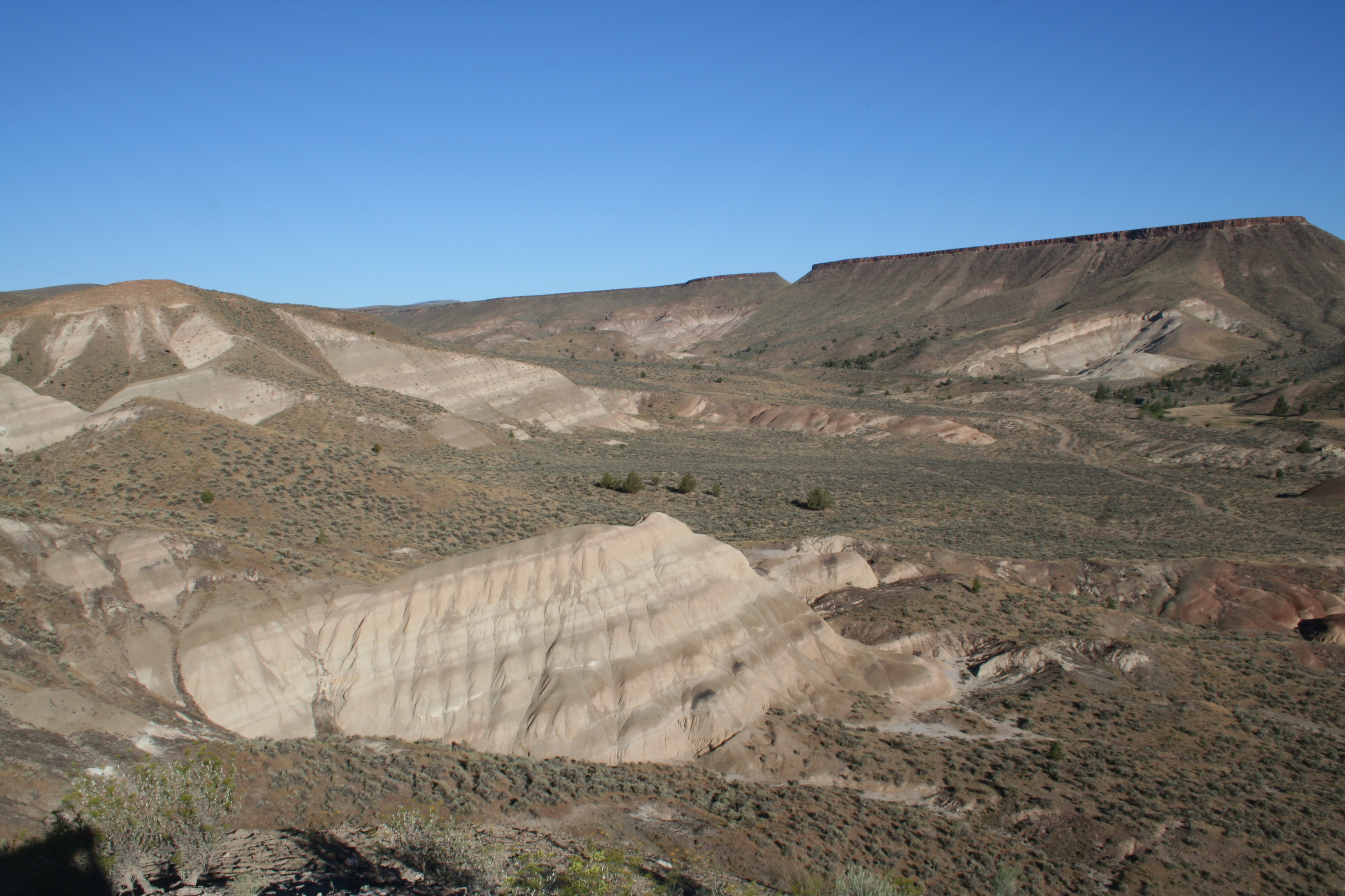
Mascall Formation Overlook
This 430 ft (131 m) roundtrip trail leads to a scenic view of the Mascall Formation, Picture Gorge, and John Day Valley.
Explore by type
Look outside
Live from ODOT TripCheck
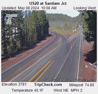 US20 at Santiam Jct
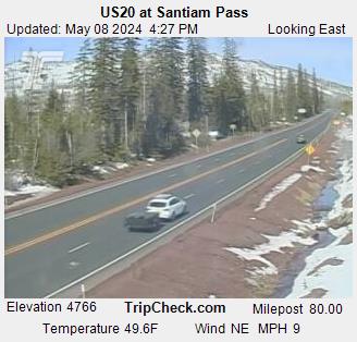 US20 at Santiam Pass
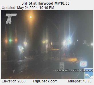 3rd St at Harwood MP18.35
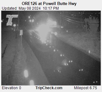 US26 @ Crook County Line MP16.3
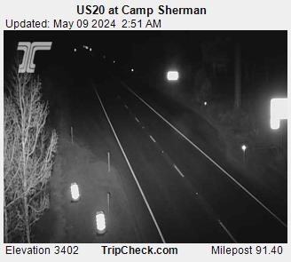 US20 at Camp Sherman MP91.40
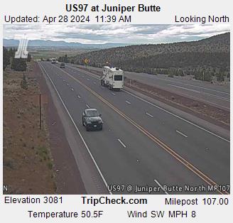 US97 at Juniper Butte
Reload for the latest frame. Cameras go dark at night and in heavy weather, which is itself worth knowing before you set off.
Never miss a new destination